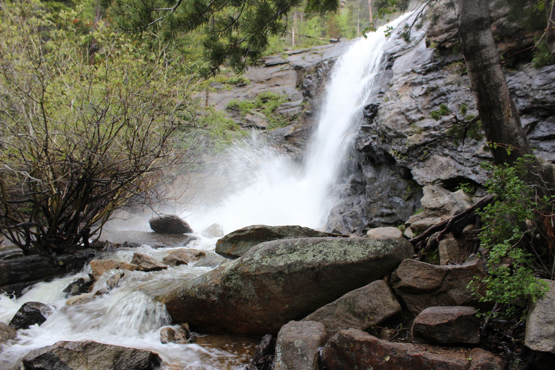
A long way from Kansas, we’re off to see Bridal Veil Falls
You won’t find the Bridal Veil Falls road, which is actually called the Cow Creek Trail, listed on rockymountainhikes.com, even though it is officially in the park. Protrails has it, but gives no directions to getting there. We finally found the route on summitpost.org, and were glad we persevered. During our hike back from Mills Lake a few days earlier, we’d encountered a friendly older couple on their way up who were very eager to tell us that Bridal Veil Falls was a stunning hike, and the “wildflowers were just amazing.” I promptly forgot they’re directions but remembered the name of the falls; how appropriate, after all, since our adventure had become an engagement trip less than a week earlier at Ohaver Lake. Thank you, fellow hikers, for sharing your secrets!

To get there, just go north on MacGregor (off highway 34, the hotel strip, near the Stanley Hotel). It’ll turn into Devil’s Gulch Road (not nearly as scary as it sounds) and after about 3 miles you’ll go left onto a dirt road at a sign that says “McGraw Ranch.” There are only about ten parking spots along the road, so if you get there late, you’re out of luck. This has the advantage of keeping the trail unfettered with human traffic, and is probably why it is not listed in the more public RMNP hiking guides.

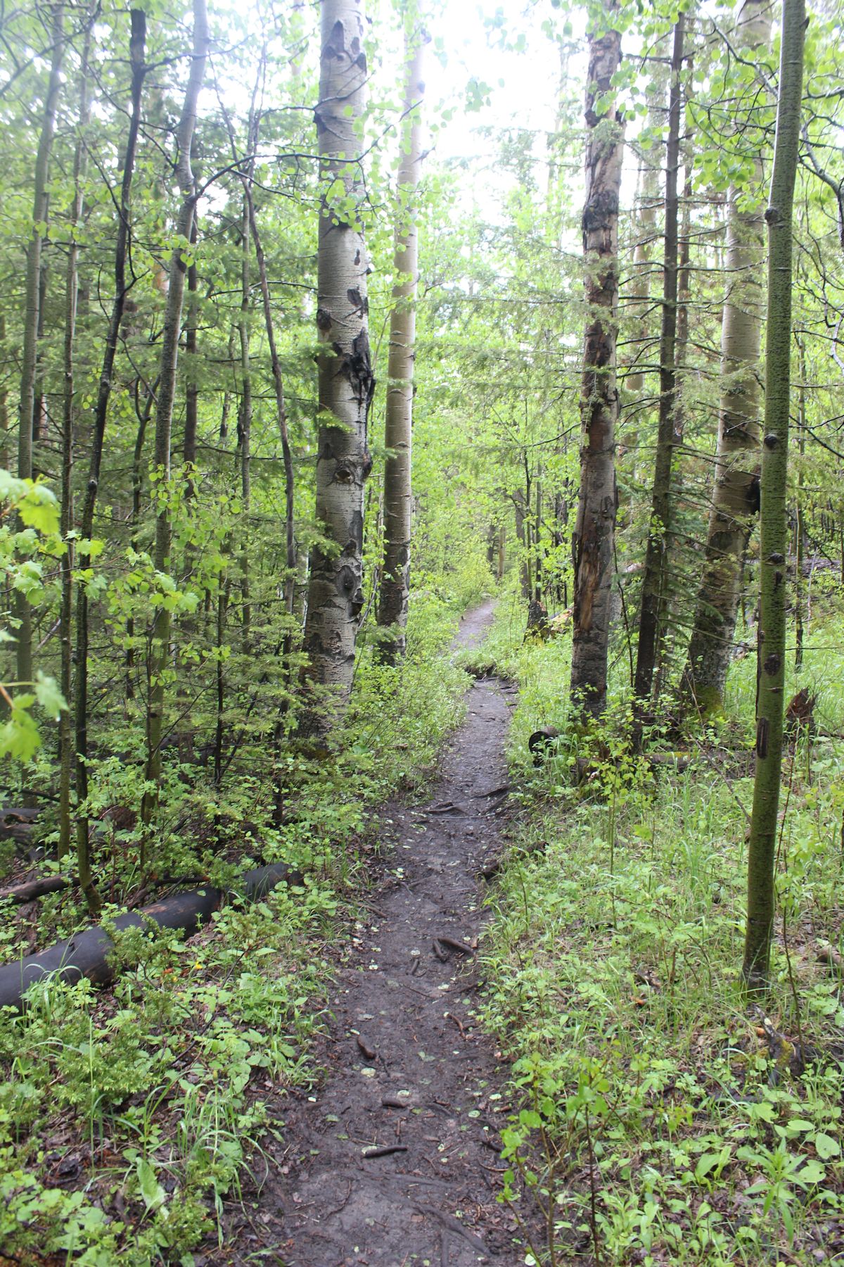
The path to Bridal Veil Falls

Wild Turkeys
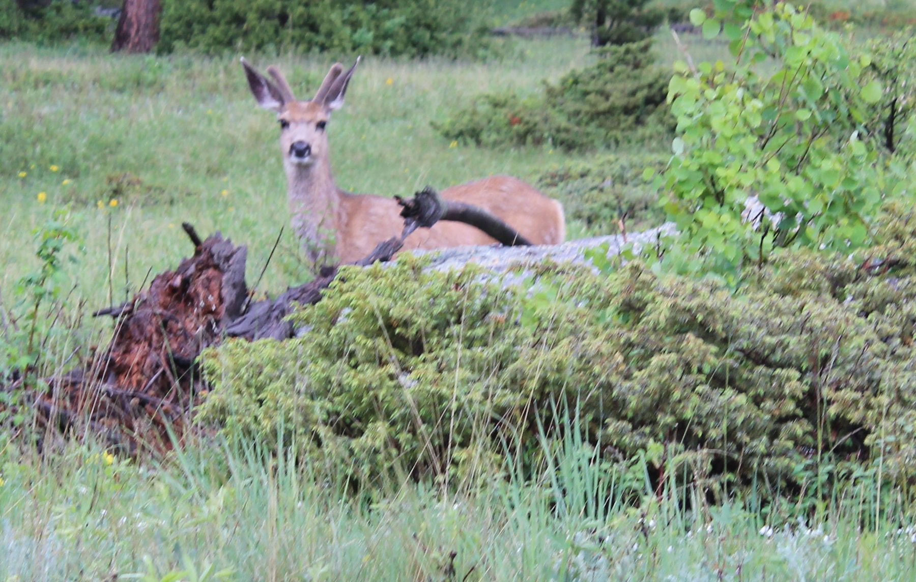
A curious young buck
Here’s a piece of advice that has served us well on all of our hikes: HIKE EARLY! We tend to head out when the sun is up and arrive at trails no later than 6:30 or 7 a.m. Our reward has been wildlife, still unperturbed by humans, foraging or frolicking in dew-licked meadows. The wild turkeys didn’t seem to mind us, and the young buck was downright curious, gradually meandering closer to us until he was a mere 20 yards off.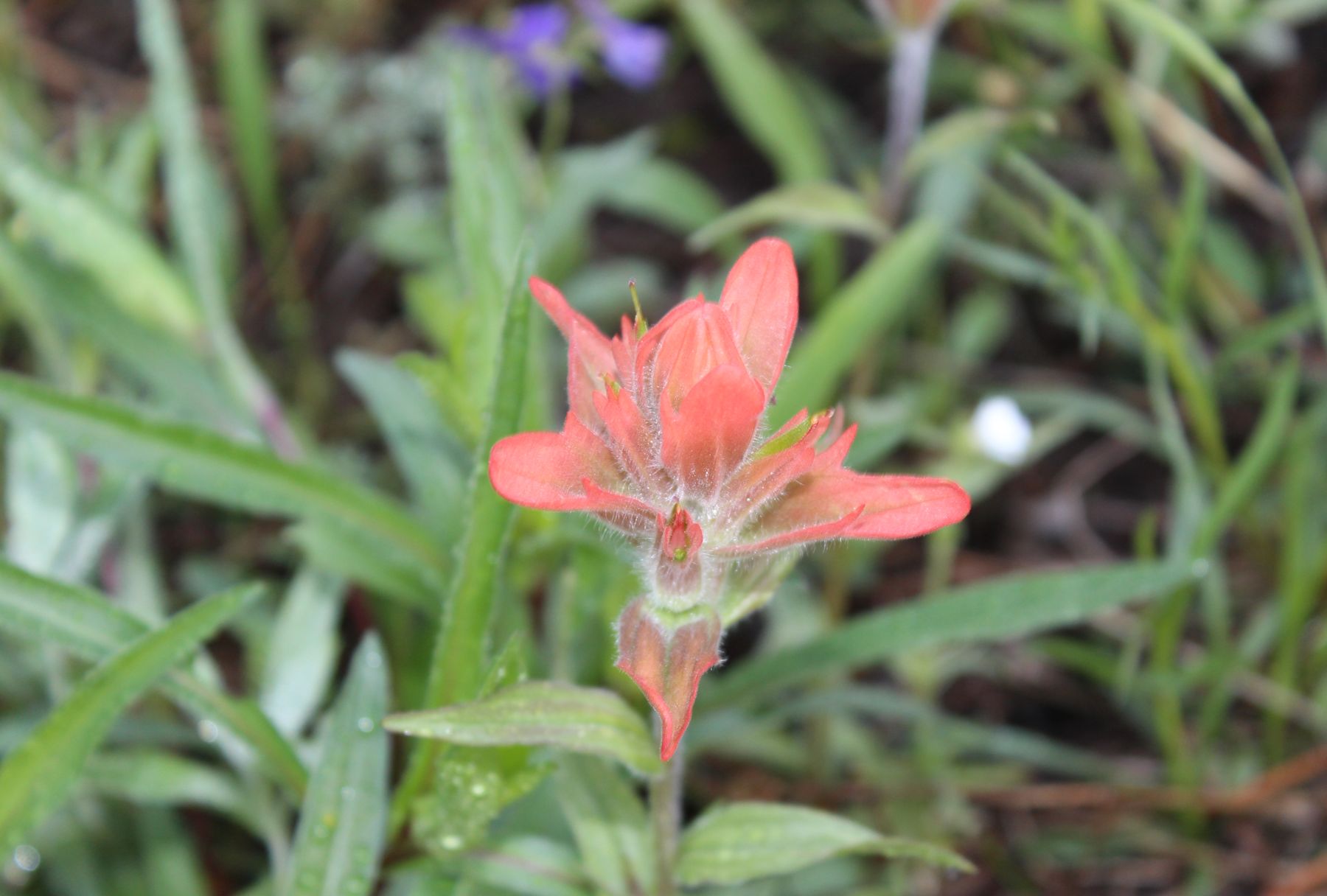
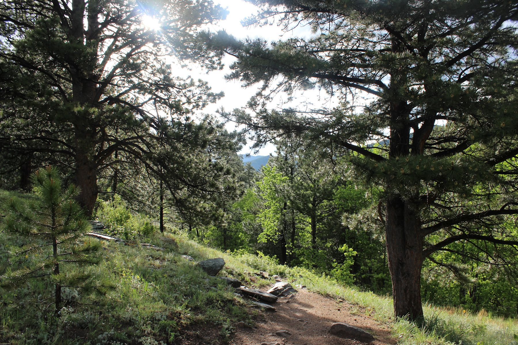
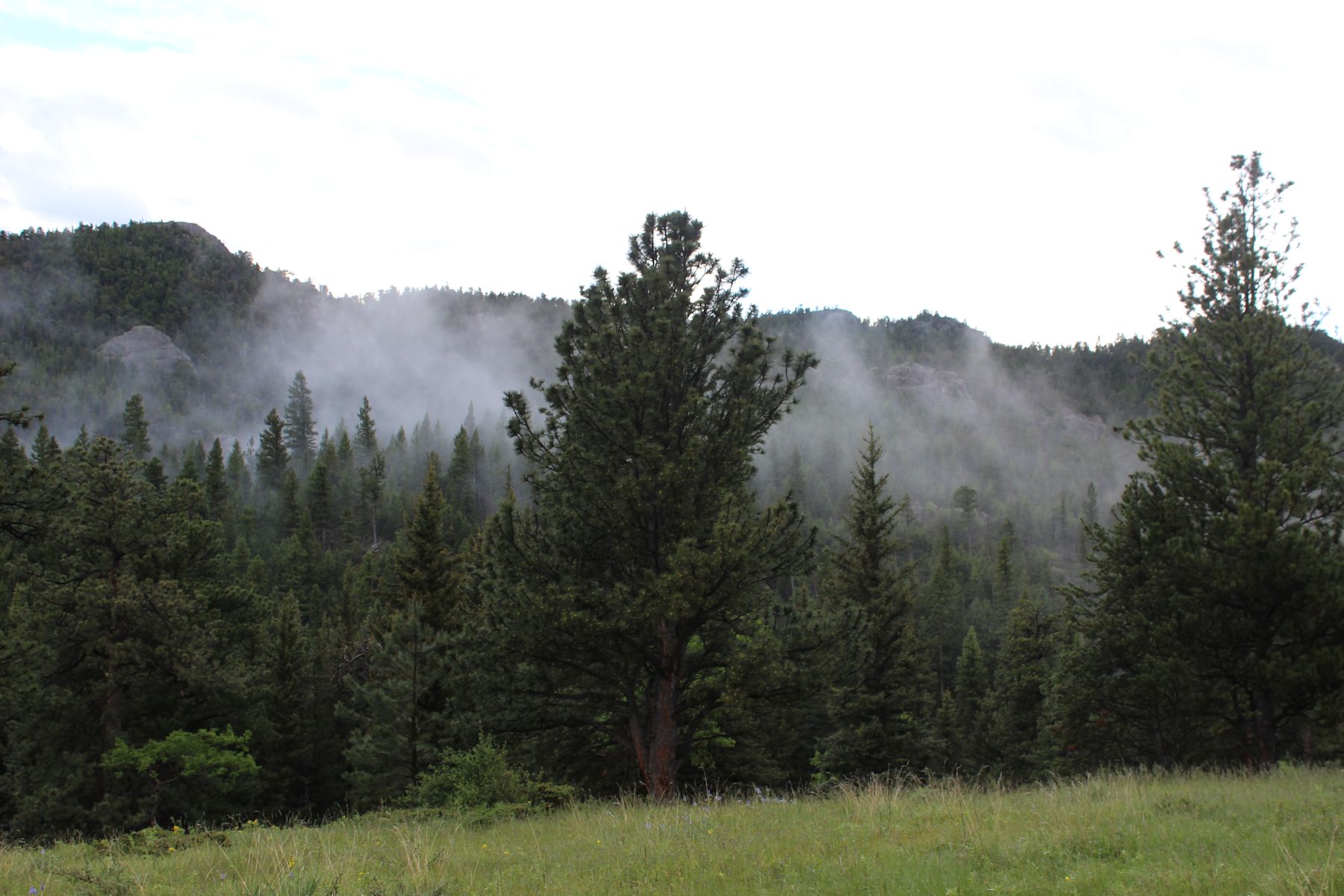
The panoply of multi-colored wildflowers was truly astonishing; look for some of them on a separate post. And this trail, following Cow Creek up to the falls, is a great opportunity to traverse three different terrains in one hike. The first part is a meadow hike on a nice wide dirt path, fairly flat, full of flowers, and pleasant. We had a cloudy, misty, and slightly foggy morning, but I’d imagine if the sun was out in the afternoon you’d want to bring a hat, sunscreen, and bug spray.
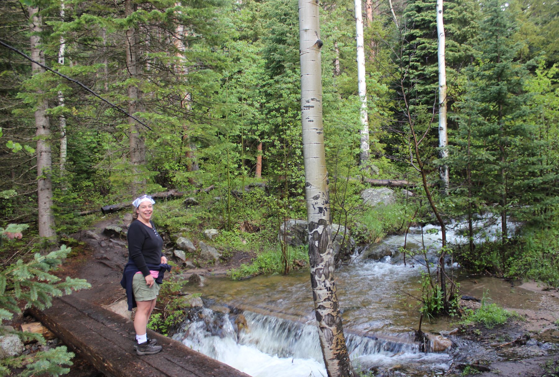
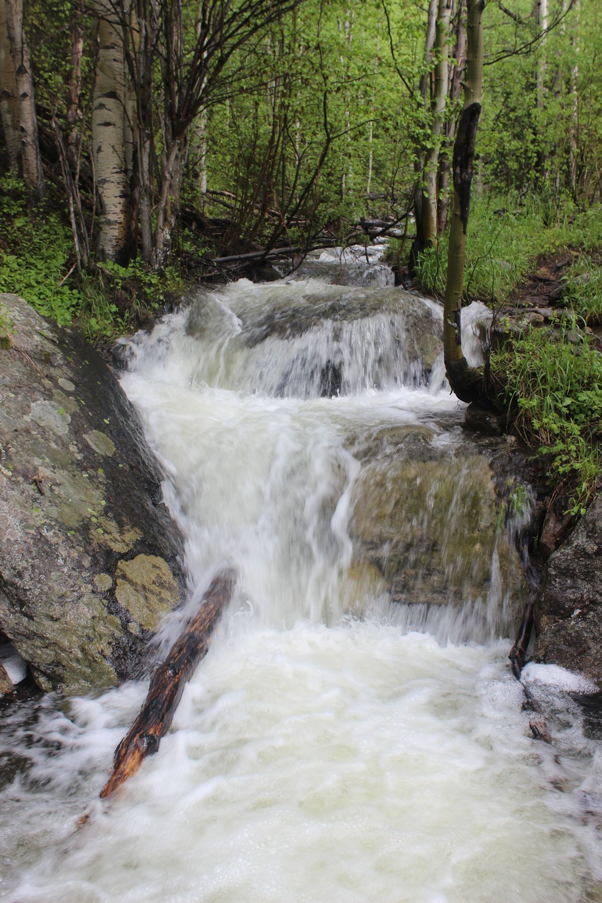
At about a mile in, the path hugs the creek and dips into a thick forest, and we began to feel a more steady uphill climb.


The final part of the hike is rocks. Nothing dangerous, but steep and rocky, the path sometimes hard to find. You don’t need rock climbing gear but for us amateurs it does provide a bit of fun!


The falls themselves were spectacular, and we managed to get some selfies with the help of a couple of guys who’d arrived after us but beat us to the top.